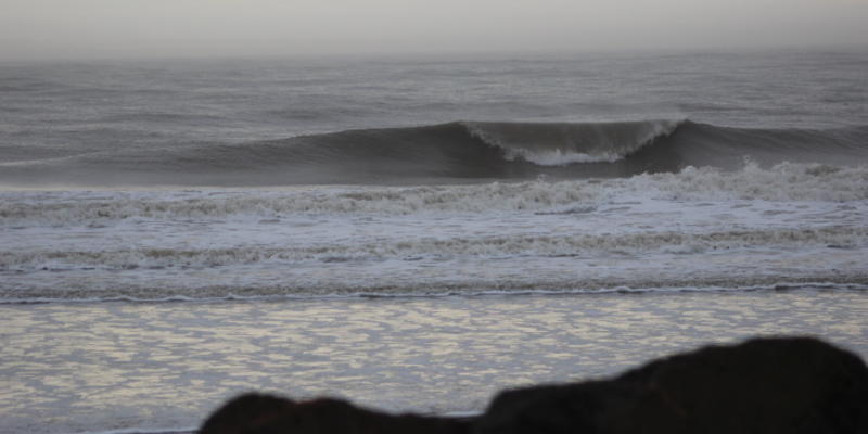
Your Ocean Surf Shop surf forecast for the week of March 23–March 30:
Your National Weather Service Marine weather forecast for the Charleston marine area calls for: “SEVERAL WAVES OF LOW PRESSURE WILL PASS SOUTH OF THE AREA ALONG A STALLED FRONT THEN SHIFT OFFSHORE INTO THE ATLANTIC TODAY AND TONIGHT. AN INLAND WEDGE OF HIGH PRESSURE WILL THEN STRENGTHEN ON MONDAY AS ANOTHER AREA OF LOW PRESSURE SHIFTS OFF THE SOUTHEAST COAST. HIGH PRESSURE WILL THEN BUILD OVER THE REGION TUESDAY THROUGH FRIDAY.”
We have had a really good run of surf for late February and through March, by Folly standards. We see more surf in your forecast to round out the month.
Early in your work week, we see serval areas of low pressure drifting right off our coast Monday night into Tuesday. This will create a tight pressure gradient (read: “wind”) just offshore between a high-pressure wedge and a low forming just offshore. This low will meander in our swell window long enough Monday and early Tuesday to cause some swell, but the fly in the soup will be lots of northeast winds. We see another low follow this path (quickly) on Tuesday, moving off of the Georgia coast. Later Tuesday, high pressure takes over as these lows depart east of the marine area, with consistent northeast/east flow as the high settles to our north mid-week and holds in place through Friday. These combined weather systems should bring more waist- to chest-high surf to Folly, albeit of the drifty/choppy sort early in the work week.
As the high moves to the north, and farther offshore, winds should relax and rotate more easterly, pushing in some bumpy but rideable trade-wind swell Wednesday–Friday. Swell and wind direction should improve mid-week on, setting Folly Beach up for some fun, if not perfect, springtime swell. Friday, we see another cold front approach, and southwest winds should pick up and cross up leftover trade-wind swell. The weekend of March 28–29 looks to be small, so get some during the work week, if you can. This should average about waist high, before things get small after a cold front passage Friday evening. The water is warming, but still holding steady at 59 degrees. This should bump up to 61 degrees by the end of the week. It does look like we will be surfing in the rain on Monday into Tuesday morning, but weather should stabilize some mid to late in the period, with clouds and daytime highs in the low- to mid-60s. Go surf—summer doldrums come quick!
-Bates Hagood, Ocean Surf Shop