Our NOAA National Weather Service Marine Weather Forecast calls for…" A STATIONARY FRONT WILL DISSIPATE NEAR THE COAST TODAY. ATLANTIC HIGH PRESSURE WILL REMAIN IN PLACE INTO EARLY NEXT WEEK. TROPICAL CYCLONE ERIKA COULD IMPACT THE SOUTHEAST U.S. BY THE MIDDLE OF NEXT WEEK. REFER TO THE LATEST ADVISORY ON ERIKA ISSUED BY THE NATIONAL HURRICANE CENTER."
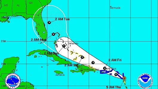
As of Friday afternoon (Aug. 28), Erika is looking to take a more westerly track up into Florida, at which point it will re-curve and roll north up into the Florida Panhandle. This track is subject to change, so keep an eye on the National Hurricane Center or Weather Underground for reliable tracking maps.
It is really hard to tell the track it will take, but there is a lot of southerly wind (on-shore wind) left over from former T.S. Danny still making some rideable swell at Folly this week. Now T.S. Erika is creating wind north of the Caribbean islands, setting up trade-wind style (on-shore) fetch. Over the weekend (Aug. 28), the waves will continue in the waist-to-chest high range in bumpy conditions with east winds. Surf builds early afternoon on incoming tides with east winds at 10 knots during the forecast period.
Look for waist-to-chest and bumpy as the day wears on. Low-to-mid tides have been best on this trade-wind swell, and don’t be afraid to venture away from the Washout. There is enough swell that other sand-bars along the east side of the beach have been breaking pretty well.

As of Friday, Aug. 28, this is the NOAA marine weather forecast North Florida FOR Sunday (Aug.) : “EAST WINDS 10 KNOTS. SEAS 5 TO 6 FEET WITH OCCASIONAL SEAS UP TO 8 FEET. INLAND WATERS A LIGHT CHOP. SHOWERS AND THUNDERSTORMS LIKELY IN THE MORNING…THEN SCATTERED SHOWERS AND THUNDERSTORMS IN THE AFTERNOON.”
Why look at North Florida’s marine weather forecast? All of that is swell coming from the southeast, and I would look for waves to build significantly on Sunday, into Monday morning. That’s a lot of swell according to Friday’s marine weather forecast, and we should be looking at chest – and bigger – surf by afternoon Sunday, and into Monday. Our marine weather forecast is calling for 3 to 4 foot seas on Sunday, but I think surf will build bigger. Waves should get choppier mid-week (week of Aug. 31) as Erika get closer to our area, but suffice it to say that we are looking at swell all weekend, and into your work week, with biggest size coming during the early part of your work week. (Aug. 31 – Sept. 1). As size gets bigger, don’t be surprised to see the wind pick up.

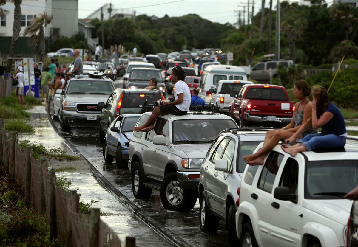
A crowd gathered at the Washout in 2011 to catch the waves from tropical storm Irene.
-Bates Hagood, Ocean Surf Shop