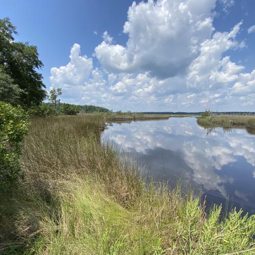

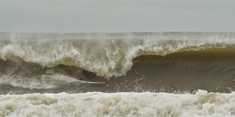
Unidentified tucking into a cold winter barrel. Photo credit: Justin Morris/Follyhood.com
Early March surf forecast for the South Carolina Lowcounty for the period of March 1–March 7, 2015
Our National Weather Service Marine Weather Forecast calls for: “HIGH PRESSURE WILL CONTINUE TO WEDGE SOUTHWARD OVER THE REGION TODAY WHILE A COASTAL TROUGH LINGERS OFF THE SOUTHEAST COAST. A COLD FRONT WILL SHIFT OVER THE AREA LATE MONDAY THEN STALL JUST SOUTH OF THE AREA MONDAY NIGHT AS HIGH PRESSURE BUILDS FROM THE NORTH. THE FRONT WILL LIFT BACK NORTH AS A WARM FRONT TUESDAY AFTERNOON AHEAD OF A COLD FRONT THAT SHIFTS THROUGH THE AREA LATE WEDNESDAY INTO THURSDAY. HIGH PRESSURE WILL THEN BUILD OVER THE AREA THROUGH THE WEEKEND.”
We have had a stellar run of waves (by South Carolina standards) for the past week, and we look forward to more more surf during your work week as a cold front stalls offshore and lifts north across the marine area as a warm front for Tuesday and Wednesday. This will bring south flow for Tuesday, building stronger from the southwest on Wednesday as a new cold front approaches the area late Wednesday into Thursday. High pressure looks to build back in over the weekend. With all of these fronts and a coastal trough lingering off of our coast early in the forecast period, we see all kinds of mixed-direction swell. The only fly in the soup is the cold weather and some wind, but there is surf this week, so pick a day when the wind backs down and get on it.
We have bottomed out on our water temperatures. It is 46*, but let’s get ready to see water temps rise this week with lots of south wind in the forecast early week. Of course, with northeast windswell in the forecast late in the period, we should see water temps hold steady around 50* for late in the forecast period.
On Monday, we see fading east/southeast swell. This was strongest on Sunday afternoon, but we should still see cleaner leftovers on Monday morning in fading moderate- to long-period southeast swell. Surf should remain thigh to waist high late in the day as the tide comes in. Best for a longboard or fish.
On Tuesday, we see south wind swell pick up as a frontal boundary lifts north of our area, bringing warmer temperatures and bigger surf. South wind keep things bumpy to choppy, but it should be a fun day of surf, with some warmer weather. Look for waist- to chest-high surf with some bump in it.
Wednesday sees the return of strong southwest winds and continued swell, but choppier conditions. Look for waist- to chest-high wind swell and lots of chop and drift.
Thursday sees a frontal passage and cleaner conditions as surf fades, but it should be decent at the morning’s high tide.
From Friday to Sunday (March 6–8), we will see more high-angled northeast wind swell as another high sets up just to our north. This should continue wind waves into the weekend.
There is lots of surf in the water, so go surf this week when you can.
-Bates Hagood, Ocean Surf Shop

Copyright © 2015 Dez Inc. dba GulfStream Communications